


Tall Palm Fish Camp Road, DELAND, FL 32720
- MLS#: V4942738 ( Land )
- Street Address: Tall Palm Fish Camp Road
- Viewed: 2
- Price: $700,000
- Price sqft: $0
- Waterfront: Yes
- Wateraccess: Yes
- Waterfront Type: Canal - Freshwater,River Front
- Year Built: Not Available
- Bldg sqft: 0
- Days On Market: 79
- Additional Information
- Geolocation: 28.9876 / -81.3731
- County: VOLUSIA
- City: DELAND
- Zipcode: 32720
- Provided by: SOUTHERN EXCLUSIVE REALTY CORP
- Contact: Mandy Evans
- 386-279-7244

- DMCA Notice
-
DescriptionEscape to your own private oasis on this beautiful waterfront property tucked away on a secluded dead end road. With a breathtaking canopy of towering oak trees, overlooking Mud Lake that provides direct access to St. Johns River. This untouched land offers the perfect blend of tranquility and adventure. Whether you're looking for a serene homestead, a weekend getaway, or an investment opportunity, this property delivers unmatched natural beauty and convenience. The property contains two parcels one (13.8 acres) and (10.6) totaling 24.41 acres. Please call today to make your showing appointment.
Property Location and Similar Properties
Features
Building and Construction
- Covered Spaces: 0.00
- Living Area: 0.00
Land Information
- Lot Features: In County, Street Dead-End, Wetlands, Wooded, Zoned for Horses
Garage and Parking
- Garage Spaces: 0.00
- Open Parking Spaces: 0.00
Eco-Communities
- Water Source: Well Required
Utilities
- Carport Spaces: 0.00
- Road Frontage Type: Access Road
- Sewer: None, Septic Needed
- Utilities: Electrical Nearby, Telephone Nearby
Finance and Tax Information
- Home Owners Association Fee: 0.00
- Insurance Expense: 0.00
- Net Operating Income: 0.00
- Other Expense: 0.00
- Tax Year: 2024
Other Features
- Country: US
- Current Use: Residential
- Legal Description: FROM NW COR OF SEC RUN E ALONG N LINE OF SEC 505.20 FT TO POB CONT E ALONG SAID N LINE 597.72 FT TO A GOV LOT MARKER THAT IS 1102.92 FT E OF SAID NW COR RETURN TO POB & RUN S 03DEG 19MIN 32SEC E 809.50 FT N 66DEG 43MIN 57SEC E 885.16 FT TO WATERS OF A BAYOU NW'LY ALONG SAID WATERS TO A POINT E OF AFOREMENTION GOV LOT COR W TO GOV LOT COR ORB 967 PG 1253 ORB 1153 PG 1634
- Area Major: 32720 - Deland
- Parcel Number: 25-17-29-0002-000-00400
- View: Trees/Woods, Water
Payment Calculator
- Principal & Interest -
- Property Tax $
- Home Insurance $
- HOA Fees $
- Monthly -
For a Fast & FREE Mortgage Pre-Approval Apply Now
Nearby Subdivisions
_
Armstrongs Add Deland
Assessors Lt 06 07 13 01 29
Assessors N 012 Nw 014
Athens Realty Co Blks 203206 I
Bradley Park
Crows Bluff Community Center
Deland
Deltona
Edgewood Heights
Forest Rdg 107
Frst Hills
Hamilton Heights
Highland Lakes
Hillcrest
Howrys Add Deland
Hutchinsons E 012 Sw 014 Ne 01
Lake Beresford Terrace Add 01
Lake Mackforest Hills
Lockharts
Mercers Hammock
Neff Estate
Norris Dupont Gaudry Grant
Not In Subdivision
Poosers
Quail Hollow On River
River Ridge
Riverside Estates
Riverside Estates Add 01
Royal Trails Unit 2 Replat
So Del
Spring Hill Assessors Resub
St Johns Gardens Add 03
St Johns River Land Co
Stetson Home Estates
Stevens Rep
Vacated Sub
Similar Properties
$680,000.00
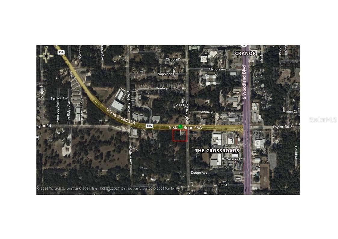
Sr 15-a (spring Garden Avenue) Road More Like This Login To Like
Highly visible signalized corner. This B 5 (Heavy Commercial) zoned corner parcel is located at a signalized intersection with a traffic count of approximately 25,000 cars per day. This site is perfe
- Approx. 1.79 acres
- Provided by DOYLE PROPERTIES INC
- Contact Robert Doyle, II
-
- DMCA Notice

$650,000.00
000 Ponderosa Avenue More Like This Login To Like
Location, location, location... this 63 acre parcel of land (of which 30 acres is buildable and 33 acres is wetland/preserve) is located in volusia county, Royal Trails
- Approx. 63.00 acres
- Provided by RE/MAX Masterpiece Realty
- Contact Patricia A. Ritchie Johnson
- (772) 340-2700
- Provided through
- DMCA Notice

$750,000.00
915 Spring Garden Avenue More Like This Login To Like
2+/ Acre Commercial Site. Great Retail and Office location. Signalized intersection. 385+/ feet of frontage on SR 15A. Zoning Permitted Uses include: General/Professional Offices, Financial Inst
- Approx. 2.00 acres
- Provided by SVN Alliance Commercial Real Estate Advisors

- DMCA Notice